Log in
All resources
Create a design
516 Free Images of 1860 Maps
history
historical
cornell's primary geography (1860)
eran laor cartographic collection
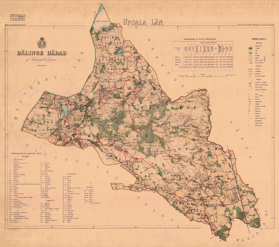
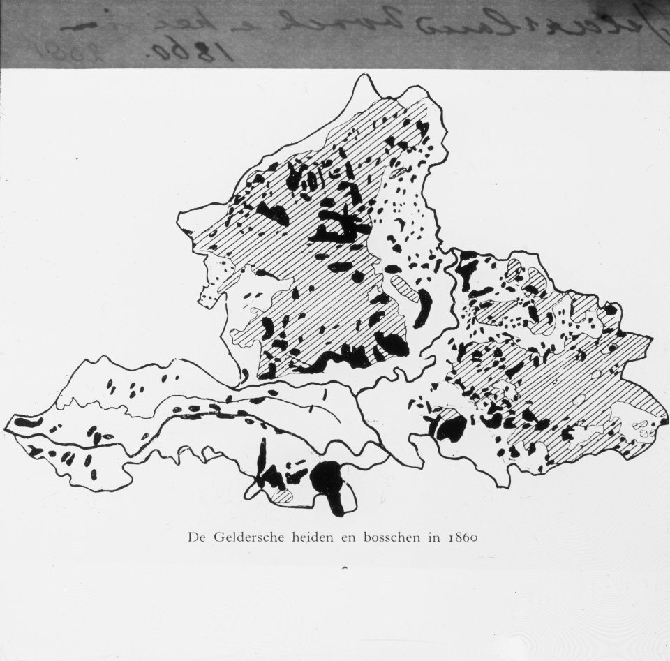
gemeente atlas van nederland - south holland
william hughes (geographer)
william hughes
maps in the rijksmuseum amsterdam
english-language maps
1860s maps of south holland
1860 maps of india
old maps of assam
gemeente atlas van nederland - south holland
polytechnische school te delft
old maps of koedijk
old maps of alkmaar
postcards of szklarska poręba
postcards of silesia
media from regionaal archief alkmaar
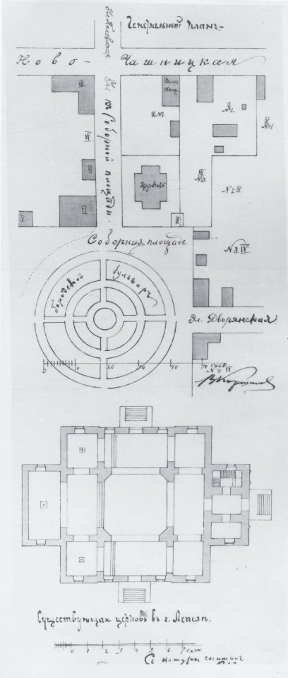
oudkarspel
history of alphen aan den rijn
maps of aarlanderveen
gemeente atlas van nederland - south holland
maps of geervliet
media from regionaal archief alkmaar
sint pancras
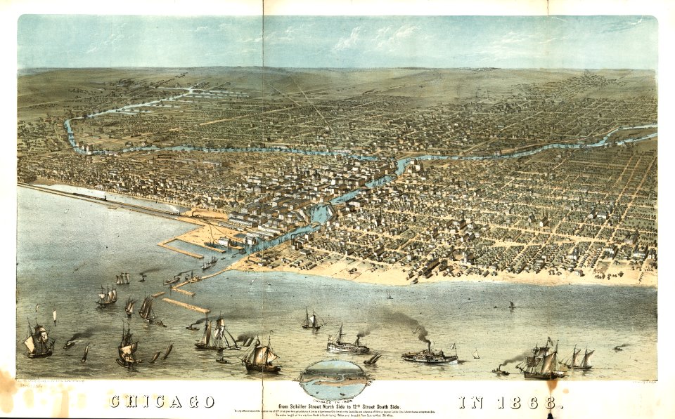
chicago and the midwest, newberry library
custom made cartographic products
hoogheemraadschap van rijnland
maps of woubrugge
maps of aa en hunze
gieten
portraits by charles-philippe larivière
neoclassicism
eran laor cartographic collection
william hughes (geographer)
gemeente atlas van nederland - limburg
maps of tegelen
19th-century maps of south holland
netherlands in the 1860s
gemeente atlas van nederland - north holland
egmond-binnen
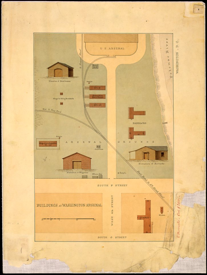
chimborazo hospital, richmond
freedmen's bureau
eran laor cartographic collection
william hughes (geographer)
maps in the rijksmuseum amsterdam
published by frans buffa & zonen
gemeente atlas van nederland - limburg
old maps of venlo
media from regionaal archief alkmaar
maps of barsingerhorn
gemeente atlas van nederland - north holland
maps of bussum
eran laor cartographic collection
william hughes (geographer)
maps of bar-le-duc by braun & hogenberg
bibliothèque nationale de france
maps in the library of congress
1863 maps
1860s maps of georgia (u.s. state)
maps in the library of congress
volume 12 of le tour du monde
academic art
eran laor cartographic collection
william hughes (geographer)
eran laor cartographic collection
william hughes (geographer)
cornell's primary geography (1860)
1860 maps of africa
gemeente atlas van nederland - south holland
maps of oudewater
historical
history
cornell's primary geography (1860)
1860 maps of asia
historical
history
yoshiwara in art
ukiyo-e
eran laor cartographic collection
william hughes (geographer)
japanese prints in the metropolitan museum of art
yokohama-e by utagawa sadahide
historical
history
cornell's primary geography (1860)
1860 maps of south america
postcards of landkreis hildburghausen
eisfeld
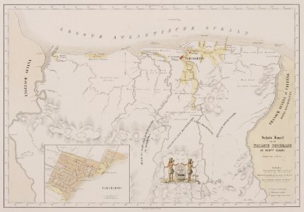
gemeente atlas van nederland - groningen
maps of noordbroek
historical
history
eran laor cartographic collection
edward weller
new bern, north carolina
solon m. allis
eran laor cartographic collection
edward weller
eran laor cartographic collection
edward weller
eran laor cartographic collection
william hughes (geographer)
charles william meredith van de velde
eran laor cartographic collection
historical
history
chromolithographs in the rijksmuseum amsterdam
published by frans buffa & zonen
old maps of the pyrenees
books about geography
cornell's primary geography (1860)
books about geography
old hemisphere world maps (partner files)
old maps of the eastern hemisphere
old hemisphere world maps (partner files)
old maps of the western hemisphere
johann friedrich steffenhagen und sohn
linguistic maps of baltic languages
cornell's primary geography (1860)
maps of the po river
historical
history
gemeente atlas van nederland - south holland
maps of alkemade
cornell's primary geography (1860)
old maps of the western cape
lithographs in the british museum
jules géruzet
historical
history
19th-century maps of the english channel
books about geography
lithographs in the rijksmuseum amsterdam
maps in the rijksmuseum amsterdam
cornell's primary geography (1860)
old maps of lake geneva
19th-century maps of england and wales
cornell's primary geography (1860)
london and its environs - a practical guide to the metropolis and its vicinity, illustrated by maps, plans and views (1862)
crystal palace in sydenham
lithographs in the rijksmuseum amsterdam
maps in the rijksmuseum amsterdam
japanese prints in the metropolitan museum of art
yokohama-e by utagawa sadahide
historical
history
japanese prints in the metropolitan museum of art
yokohama-e by utagawa sadahide
history of netley abbey
old maps of hampshire
old maps of the western hemisphere
cornell's primary geography (1860)
historical
history
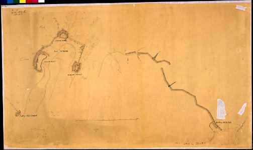
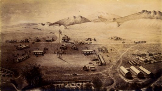
ludwig becker (explorer)
frederick schoenfeld
maps by thomas nast
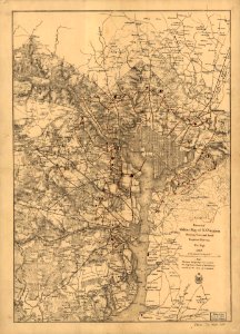
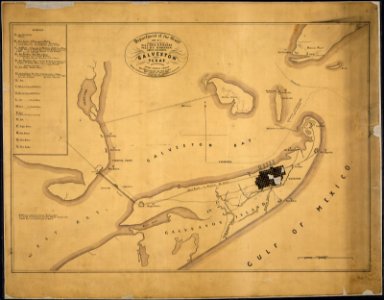
1872 maps of texas
historical
history
historical
history
historical
history
history
florida
life and work at the great pyramid (1867)
1860s maps of egypt
life and work at the great pyramid (1867)
1860s maps of egypt
orientalist painting
1860s maps of peru
colorado
history
historical collections of the state of new jersey (1868)
1860s maps of new jersey
1860s maps of south america
orientalist painting
historical
history
lithographs in the rijksmuseum amsterdam
elias spanier
bequest of simon emmering
honoré daumier
historical
history
auguste poulet-malassis
realism
historical
history
lithographs in the rijksmuseum amsterdam
elias spanier
historical
history
collection drawings and prints from het utrechts archief
provinciale staten
historical
history
maps of the captaincy general of cuba
maps of the history of florida
stereo cards of the exterior of the united states capitol
neoclassicism
stereo cards of the exterior of the united states capitol
neoclassicism
lithographs in the rijksmuseum amsterdam
elias spanier
lithographs in the rijksmuseum amsterdam
elias spanier
401 - 500 of 516
Next page
/ 6


![[Portrait of MAP-Malassis]: [print] / A. Legros: One must always remain serious with fools, Alphonse Legros](https://cdn.creazilla.com/illustrations/10001330771/portrait-of-map-malassis-print-a-legros-one-must-always-remain-serious-with-fools-alphonse-legros-sm.webp)